

We turn coordinates into design — accurate to the centimetre, simple to read, spectacular to behold.
Your terrain, on your terms
“Help thy brother’s boat across, and lo! thine own has reached the shore.” — Old Indian proverb
What We Do
From field to finish line
Field Survey & Data Acquisition
GPS, DGPS, Drone, LiDAR and photogrammetry surveys across South India.
GIS & Spatial Analysis
Database management, spatial reporting, government map overlay, Web GIS and Participatory GIS.
Custom design
Heritage series maps, technical maps, government data representation, interactive dashboards and more..
Sector Solutions
Estates, urban planning, wildlife sanctuaries, educational campuses, forestry, infrastructure and fisheries.
Special requests
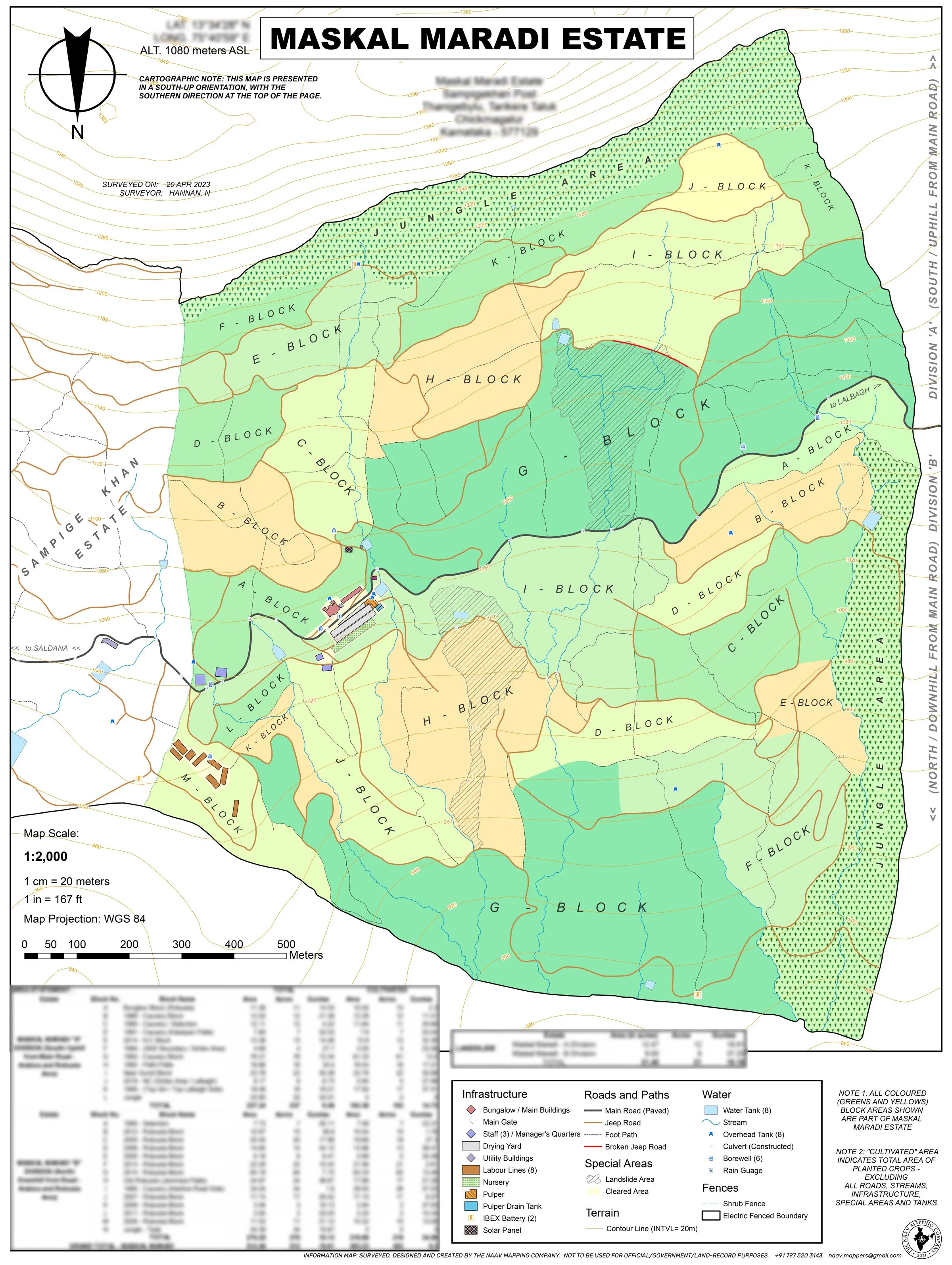
A south-up map, because that is how the growers see the hill.
Every aspect of a map can be customised — orientation, colour, scale, language.
All five map series →Four Pillars
What our maps stand for
Cartography
Maps designed by hand and held to survey-grade accuracy. Precise for the record and an artwork to behold.
Biodiversity
Mapping the land and all the life it sustains — forests, sanctuaries, coasts and the diverse species they nurture.
Heritage
Multilingual maps that carry the history of a land and the journey of those who care for it.
Community
Participatory GIS: training communities to map their own land, water and means of livelihood.
Why Naav?
Here's what sets us apart
An end-to-end service
We don’t hand you raw data. We provide a complete package, delivering products fit for immediate use.
One Team. Full Stack.
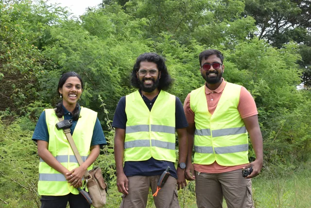
Field operatives, drone pilots, GIS analysts, software developers and cartographic designers — all under one roof, working seamlessly in sync to see your project through to the finish line.
Tailored to your needs
GIS data can be used in a myriad different ways. To us, each project is a new journey, based on what you need and how the data will be used.
Heritage series
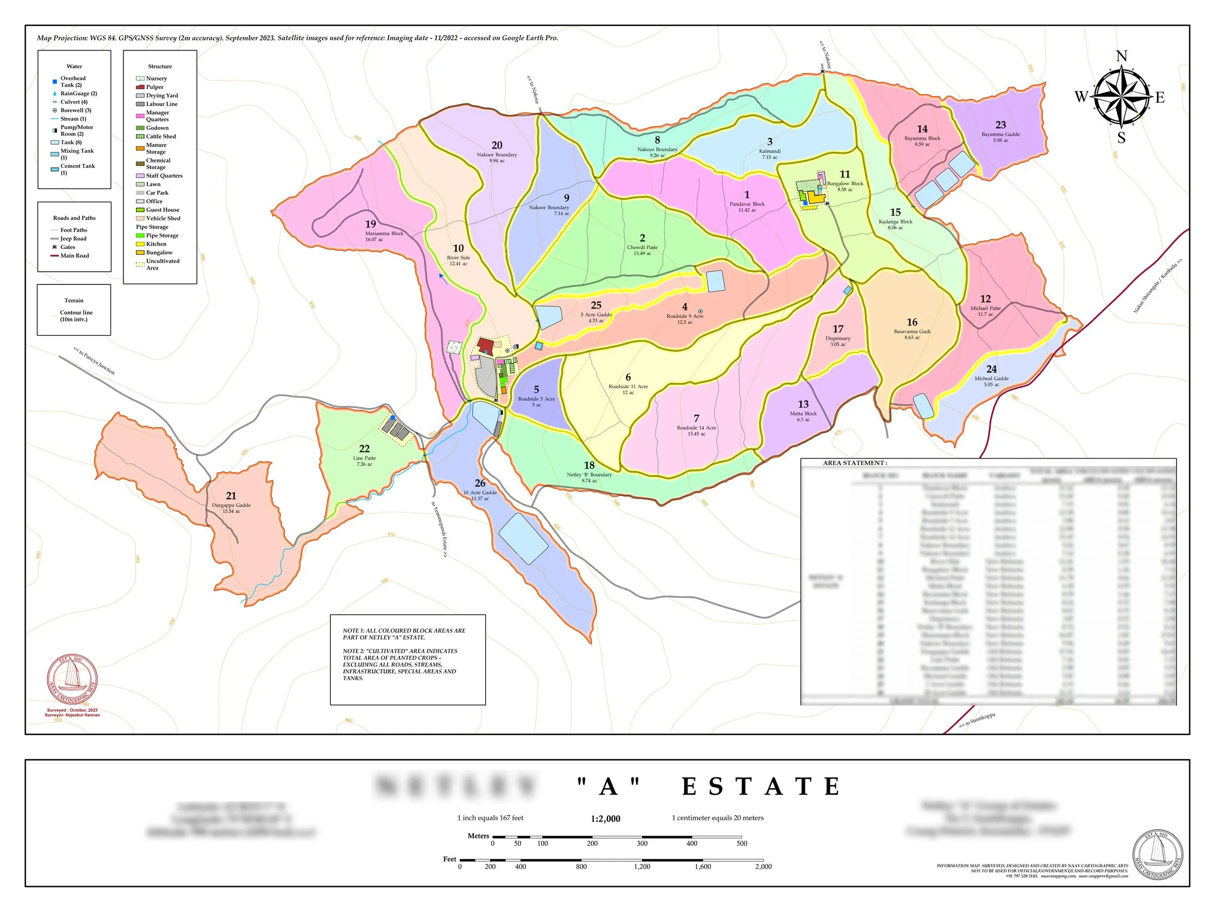
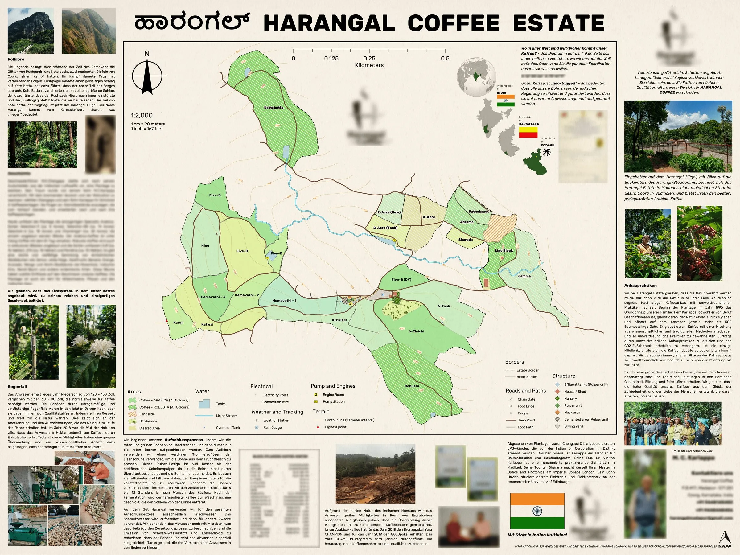
Maps that travel with the coffee, into a shop in Germany.
Large-format, multilingual display prints — custom-designed from the data we collect.
See our work →Our Story
A one-off favour that became a calling
It all began with a simple request from a neighbour who wanted his coffee estate mapped. We knew little about GIS then, but we fell in love with the craft, and never looked back. Today we are a 15+ team turning surveys into maps across India and the UAE.
Sectors
Sectors we have served so far
Ready to see your land with clarity?
Tell us about your estate, campus, coast or community and we'll tell you exactly how we'd map it.